Part 2: The Crown, the Colonists, and the Cherokee
During the transition from the Proprietors to the Crown, the governing assembly in Charles Town was still comprised of the same circle of leading planters and merchants. They merely switched their allegiance to the Crown.
The Yamasee war had certainly exposed how vulnerable scattered plantations and unregulated traders were to Indian attacks, so the General Assembly quickly concluded that they needed permanent frontier forts and more formal alliances – especially with the Cherokee and other powerful nations – to deter raids, control trade, and counter French and Spanish influence in the Southeast.
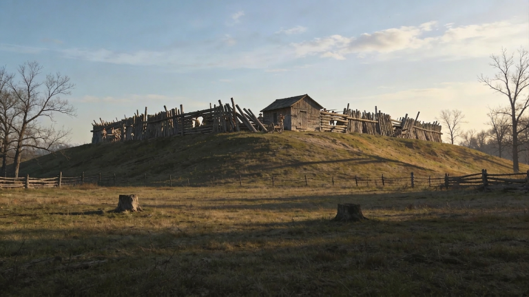
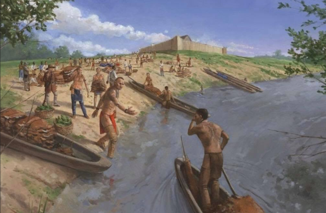
One of several such forts, and very close to Saluda, was Fort Congaree.
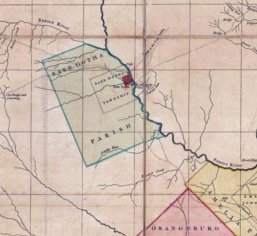
As forts were built across the state, great pains were taken to retain the goodwill of the Cherokee. In 1718 the General Assembly declared that “The safety of this Province does, under God, depend on the friendship of the Cherokees.”
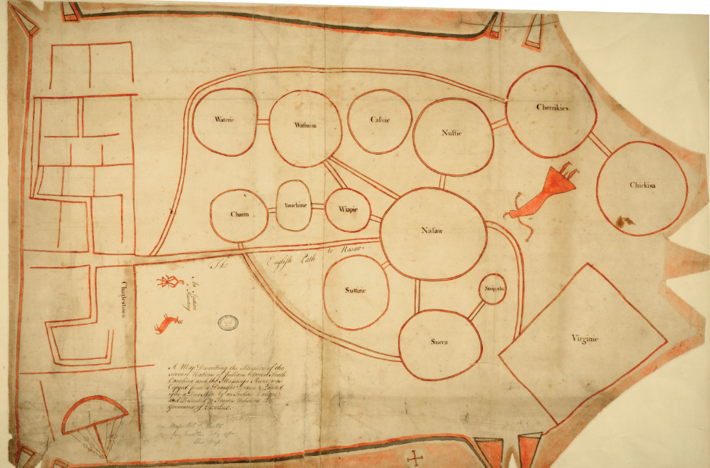
Immediately upon his arrival with a number of British troops in 1721, Governor Francis Nicholson undertook diplomatic efforts with the major tribes. Soon after, a chieftain1 presented Nicholson with a deerskin map depicting the trade relationships and alliances between the native nations situated between Carolina and Virginia.
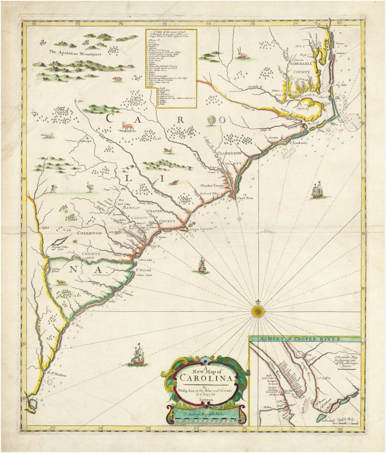
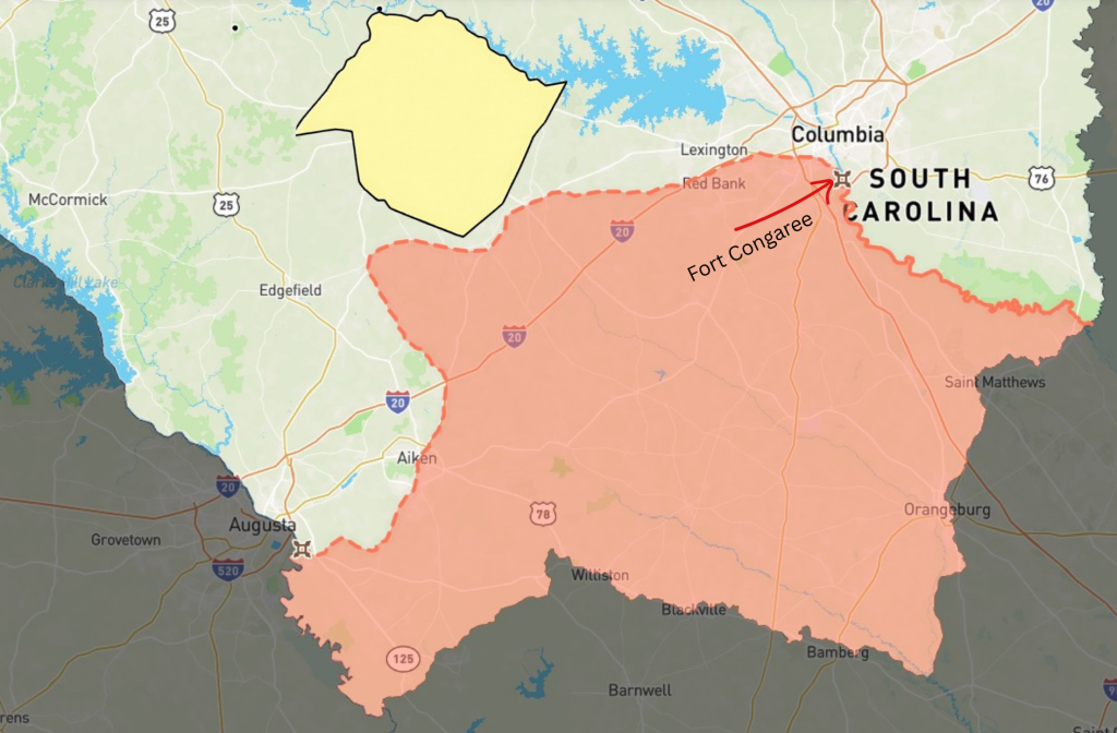
A meeting between Governor Nicholson and the Cherokee at Fort Congaree, also in 1721, resulted in a treaty to establish distinct boundaries for the colony. In return for promises to honor and protect the Cherokee rights to lands in the northern parts of the Province, the Cherokee ceded the approximate area shown below in orange:
In 1731, Robert Johnson, became the first Royal Governor after South Carolina had officially become a Royal Colony in 1729. Upon the vast lands ceded to the Crown in the Treaty of 1721, he laid out nine townships. A tenth, the Welch Tract, was added soon after.
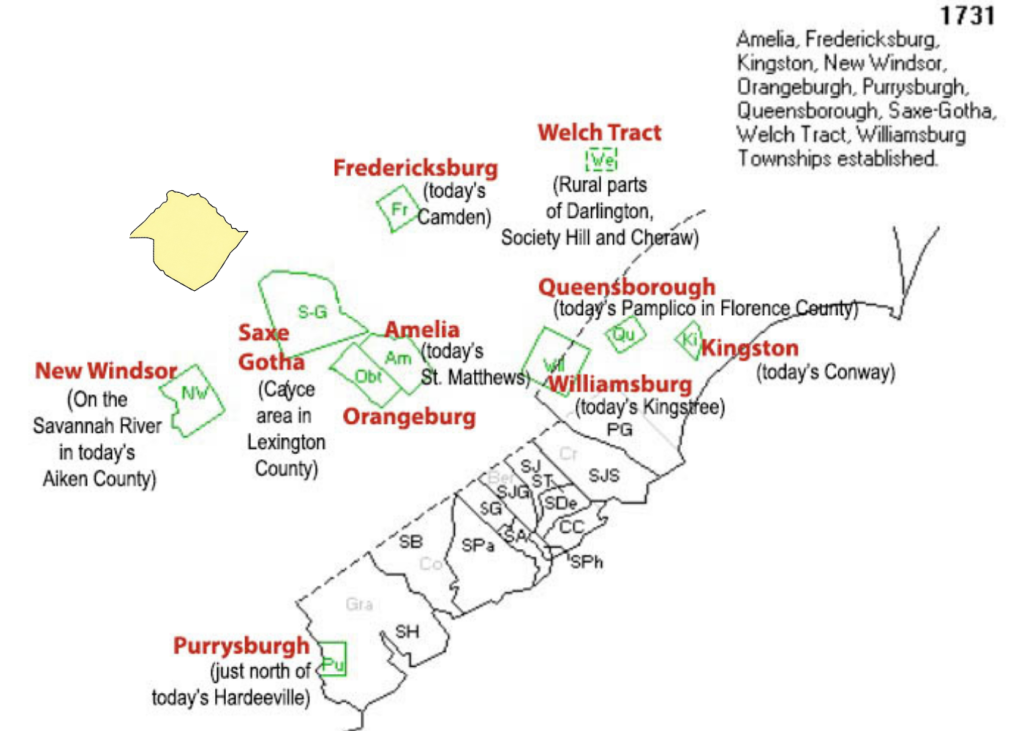
At this point the northern border of British-controlled South Carolina had reached very close to the Saluda area, though it still remained solidly in the hands of the Cherokee.
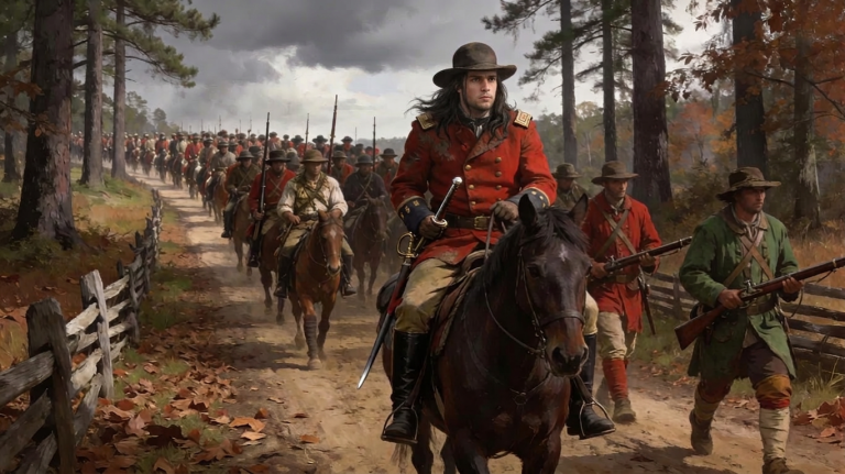
Under the control and protection of the Royal government, and with increasing numbers of imported African slaves, plantations and rice cultivation expanded in the Lowcountry. Deerskin trade with the Cherokee and Catawba tribes continued to be a profitable venture. New forts were built, and royal forces patrolled the backcountry, resulting in a diminished number of Indian attacks. But, despite British promises of protection against trade abuses and encroachment upon Cherokee lands, both continued.
It was a familiar story. In South Carolina, as in every other colony, after new boundary agreements were struck with the native tribes, settlers always encroached beyond them. The Cherokee, eager for the deerskin trade, fell deeper and deeper into debt to colonial traders who often paid for skins in advance. When the Cherokee could not deliver their quotas, they were often pressured to repay those debts with land.2
It was 1755 when the land that would become Saluda County first entered the historic picture. And it entered in a big way.
- The map is called “The Catawba Deerskin Map,” though some scholars believe it was drawn by a Cherokee. The original deerskin did not survive, but paper copies were drawn at the time, and some are still in existence. ↩︎
- This was an oft repeated pattern in the colonial years. It is difficult to know our ancestors took advantage of the indigenous people as they did, especially the Cherokee who were more than willing to adopt English customs and institutions. Had it not been English culture that prevailed in South Carolina, however, it would almost certainly been Spanish. ↩︎